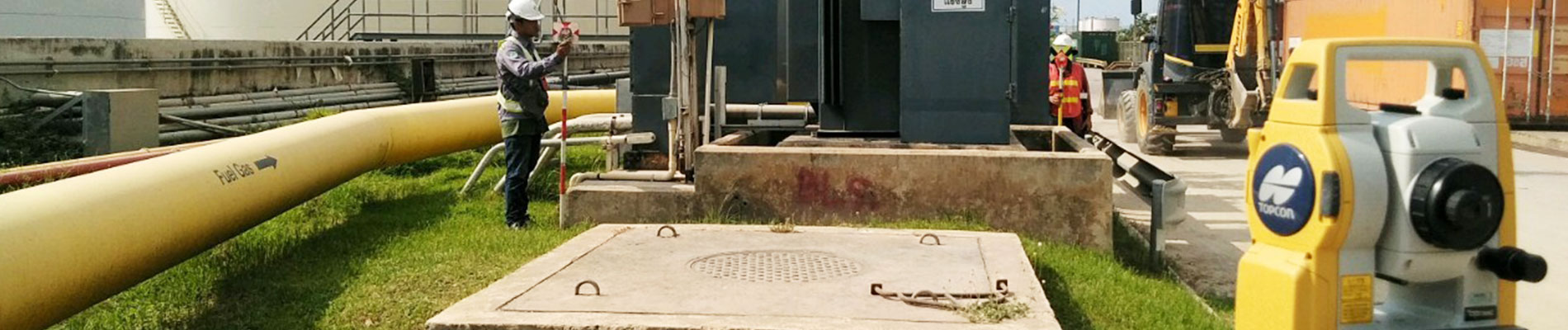
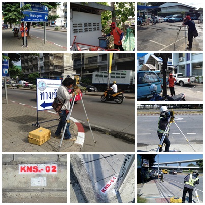
งานสำรวจเก็บรายละเอียดภูมิประเทศ (Topographic survey) เพื่อเก็บลักษณะกายภาพของภูมิประเทศเช่นตำแหน่งและความสูงของสิ่งที่มีอยู่ตามธรรมชาติเช่นพื้นดิน ต้นไม้ สำธาร ทะเลสาบ และสิ่งปลูกสร้างด้วยฝีมือมนุษย์เช่น รั้ว กำแพง ถนน ท่อระบายน้ำ เสาไฟฟ้า สิ่งต่างๆเหล่านี้ถูกบรรยายในลักษณะลายเส้น พื้นที่ และคำพูดเรียกว่าแผนที่ภูมิประเทศ งานสำรวจนี้สามารถใช้เครื่องมืออุปกรณ์ได้หลายอย่างประกอบกันเช่น กล้องประมวลผลรวม (Total station) หรือแม้แต่เครื่องมือ GNSS ที่ใช้งานในหมวด RTK (Real Time Kinematic)